Silen
In Phrygian mythology, the companion of the god of wine. The account tied to the oldest layer, and one that fits the valley's history of viticulture.
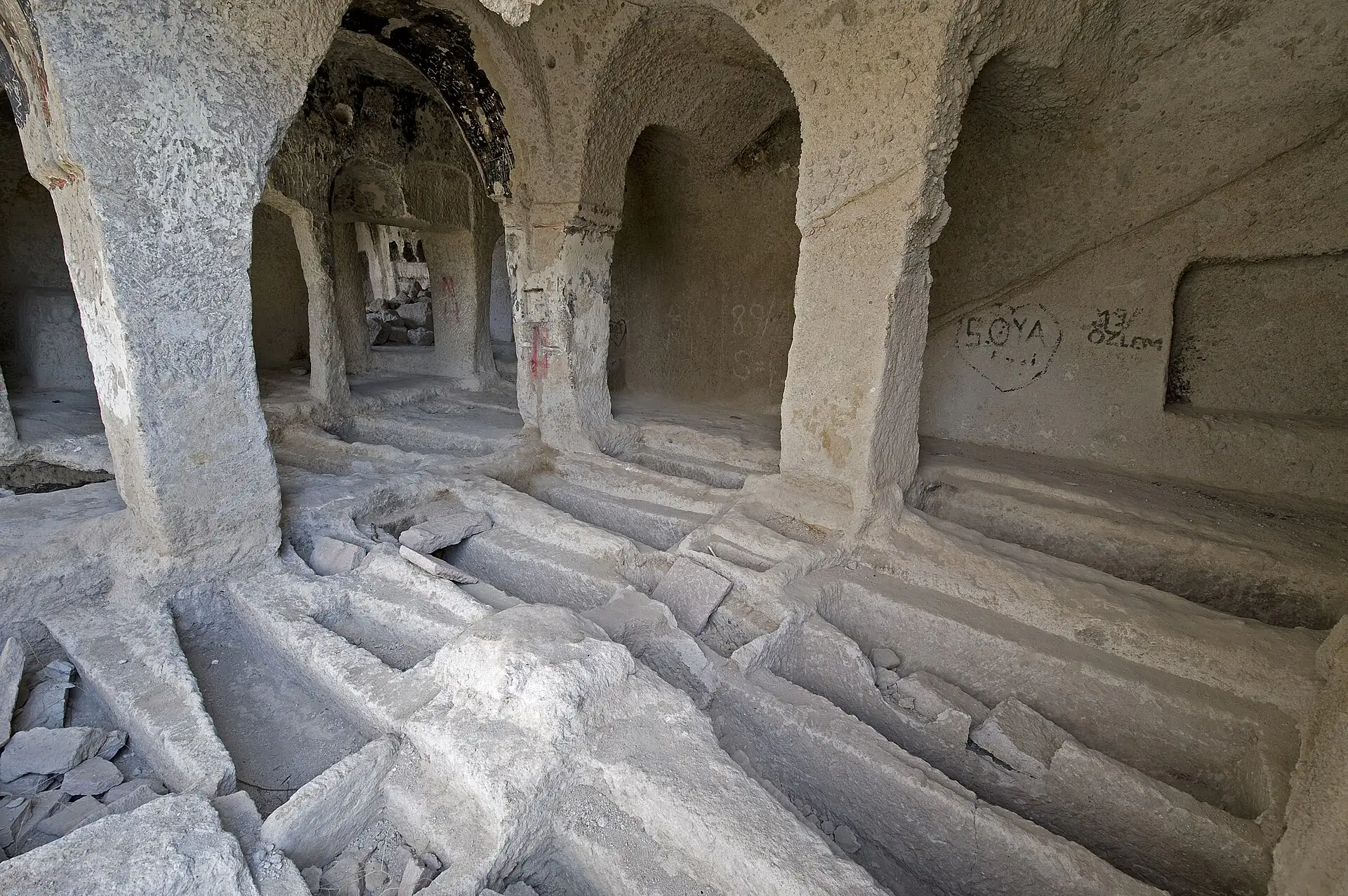
Sille's story belongs to no single civilisation but to eight eras stacked one on top of another — from the Hittites to the Republic, in the same valley.
Sille lies 8 kilometres northwest of central Konya, in the valley between Takkeli Mountain and Karabuğa Mountain, at an elevation of 1,115 metres. Its position is no accident: the valley gives water, shelters from the wind, and kept the Konya branch of the Silk Road within a day's reach.
Those three qualities made the valley attractive to every civilisation that followed. Hittites, Phrygians, Rome, Byzantium, the Anatolian Seljuks, the Karamanids and the Ottomans all settled on the same slopes. None erased what came before; each added to it. The fabric you see in Sille today is the sum of those additions.
Timeline
The valley and its surroundings carry traces of early settlement. The origins of Gevale Castle on the summit of Takkeli Mountain are traced back to the Hittite period, while Phrygian mythology left the oldest of the stories about the settlement's name.
The settlement's history reaches back to the AD 50s. Sille was home to one of the earliest Christian communities in Anatolia. The rock hollows on the valley slopes began to be used for worship and shelter in this period.
According to tradition, Helena, mother of Emperor Constantine, stopped in Konya on her pilgrimage to Jerusalem and ordered the church built after seeing the early Christian sanctuaries here. The building takes its name from her.
The Ak Monastery (Hagios Chariton), held to have been founded by Saint Chariton in the 4th century, became a spiritual centre west of the valley. The rock-cut churches, the holy spring and the monks' cells date from this era. In the 7th century Gevale Castle was strengthened for defence against frequent Arab raids.
Once Konya became the capital, Sille turned into a frontier settlement right beside it. Inscriptions dated 1067 and 1289 at the Ak Monastery record repairs made in this period — evidence that the Christian community was still present. That coexistence became Sille's most distinctive quality.
After the Seljuks the region passed to the Karamanid principality. Sille was one of the principal settlements of the Karamanlides — the Turkish-speaking Orthodox population of the Karaman lands.
Until the middle of the 19th century Sille was a socially and economically developed settlement. Trade, carpet weaving, pottery, stonemasonry, viticulture and candle-making ran side by side. The Ak Mosque was built in 1864 and the Hacı Ali Ağa Bathhouse in 1884; the Karataş Mosque dates to the 18th century. By the end of the 19th century there were seven mosques in the valley.
Following the Treaty of Lausanne, Sille's Greek population was sent to Greece under the population exchange and Turks from Western Thrace were settled in their place. The valley's demography and economy never returned to what they had been.
In 2001 Sille was declared an urban conservation site for its natural and cultural value. The Aya Elenia Monument Museum and the Time Museum in the Hilltop Chapel opened to visitors. Around 3,700 people live in the valley today, and Sille is one of Konya's most visited cultural stops.
Etymology
The origin of the name is not known for certain. Sources offer four competing accounts — and each points to a different layer of the valley.
In Phrygian mythology, the companion of the god of wine. The account tied to the oldest layer, and one that fits the valley's history of viticulture.
Said to derive from the name of the Roman commander. It points to the settlement's presence in the Roman period.
Meaning "flowing water". Given the Sille Stream running through the middle of the valley and the channels set into the lanes, this may be the most plausible of all.
Arabic for "flood". Anyone who has seen how much water this narrow valley carries in a sudden downpour will not dismiss it.
Language and faith
Sille's most surprising cultural feature is a matter of language. The everyday language of the Orthodox community living in the valley was Turkish. Even the liturgy was conducted in a language close to Turkish.
This community is known as the Karamanlides, after the Karaman lands where they lived. They wrote Turkish in the Greek alphabet; that script is called Karamanlidika. Sille was one of the principal Karamanli settlements in Anatolia.
Neighbours on the same street, speaking the same language, walking to different places of worship.
Karamanlidika texts can still be found on gravestones and church inscriptions in the region: Greek letters, Turkish words. Summing Sille up as a "Greek village" therefore falls short.
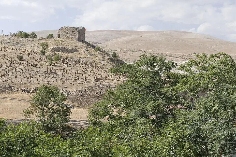
1923
Before the exchange, 18,000 Muslims and Christians lived together in Sille. The valley held roughly five times its present population.
Under the population exchange laid down by the Treaty of Lausanne, the Greeks living in Sille were sent to Greece. Turks from Western Thrace were brought in and settled in the valley in their place. Those who arrived moved to a new geography; those who left moved to a country where Turkish was not spoken, even though it was their mother tongue.
The exchange hurt Sille's population, accelerated emigration and steadily shrank the settlement. What was lost was more than numbers: the valley's chain of production broke apart along with its looms, potters' wheels and candle workshops.
The empty mansions, unused churches and quiet lanes you see walking through Sille today are traces of that rupture. The stone of the valley stayed where it was; the neighbourliness that made it did not.
Architecture
To understand the fabric of the valley you only need to look at three things: stone, slope and water.
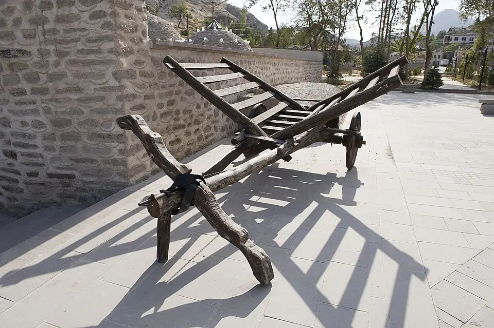
Most houses are built not of brick but of the Sille stone quarried from the valley. The buildings are one or two storeys, roofed with packed earth. Grapevines shade the doorways and outer walls.
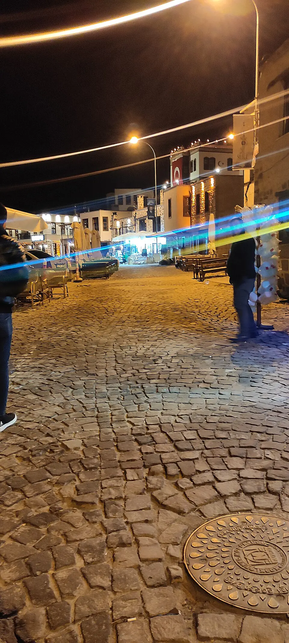
The settlement's two main axes are Hükümet Street, running north of the Sille Stream, and Baraj Street, running south of it. The bazaar consists of shops built beneath the houses on both banks.
Sloping ground and limited space produced narrow, winding lanes. The streets are stone-paved, and a channel running down the centre of each manages the water coming off the slopes.
Church, mosque, holy spring and bathhouse all stand within walking distance of one another. That proximity was not a planning decision but the natural result of living together.
Sources
Compiled from the sources below. Dates and figures can differ from one source to another; for uses requiring precision, please consult the originals.
Next
Churches, mosques, bathhouses and bridges — all within a half-day walk.